
Rovaniemi hiking and the Arctic Circle landscape
Rovaniemi hiking starts with choosing where you actually want to walk. The city is a base in Finnish Lapland, with the Ounasjoki and Kemijoki meeting in the urban landscape. The Arctic Circle Hiking Area is a separate destination northeast of town. Keeping a city walk, a self-organised outing and a guided nature trip distinct makes it easier to plan transport and the rest of your day.
The administration’s 2024 brochure places the Arctic Circle Hiking Area about 25 km northeast of Rovaniemi, beside the E75/4. Vikaköngäs and Vaattunkiköngäs are named starting points. Treat that geographical orientation as the beginning of your planning: select an approach, look at current visitor information and choose a walk suited to the conditions. For a broader introduction to the city, see things to do in Rovaniemi.
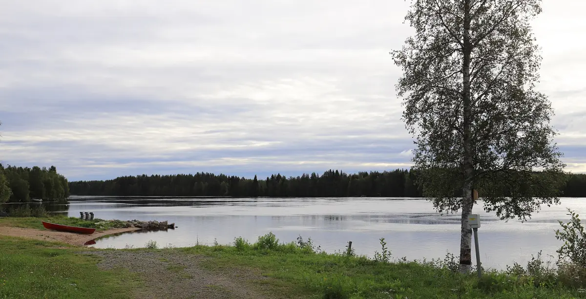
A hiking area rather than a national park
The Arctic Circle Hiking Area is administered as a national hiking area. Calling it a national park would give the place a different designation. Use the actual name when planning your visit, including when arranging transport, so that the destination and starting point are clear. A general description of walking in Rovaniemi should not replace a route plan for the specific place you intend to visit.
For an independent day, work backwards from the chosen starting point: how you will get there, how you will return and how much of the day you want to spend outside. Use current route and access information rather than assuming that an older map establishes present conditions. Bring the destination into your transport planning before setting off; the arrival and onward travel guide explains the wider transport context.
A guided nature outing
This private outing to Auttikongas includes a guide and return transport from your accommodation.
Hand-picked tours, booked through GetYourGuide. Prices are indicative starting prices in euros (as of October 2026). Tap a tour for live availability and the current price in your currency.
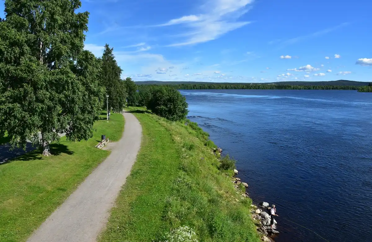
Auttikongas with transport and a guide
A private nature outing to Auttikongas combines accommodation transfers, nature explanations, food and drinks.
Summer and midnight sun
The local tourism organisation places the midnight sun approximately from early June to early July. Bright summer nights extend beyond that narrower period. The extra light can be part of the appeal of a summer walk, but choose your outing around a practical return plan rather than treating every bright night as the same astronomical phenomenon. The season guide compares the different reasons to visit.
Summer light also changes the purpose of an evening outside. In the bright summer period, a walk is about the landscape rather than a northern lights watch. For any walk, prepare clothing for the expected conditions and consult the monthly climate guide alongside a current forecast. Climate normals help with packing, while the conditions on the day determine how you arrange your outing.
A guided nature day in Auttikongas
The private Auttikongas nature outing is a separate option from visiting the Arctic Circle Hiking Area independently. It starts with return transport from your accommodation and includes a guide trained in first aid, explanations about the surrounding nature, food and drinks. The programme is listed at five hours overall. Use that as the total outing time rather than assigning five hours to walking.
This format suits visitors who want their transport and nature interpretation organised together. Keep Auttikongas as the destination in your planning; a guided visit there is a different itinerary from a walk starting at Vikaköngäs or Vaattunkiköngäs. For other private formats, see the private tours guide. Select the actual programme for its stated activities rather than reading a summer or midnight-sun departure into a general nature description.
Conditions and a workable walking plan
Before leaving, consult current information for your selected access point and adapt the outing to the weather. A dated maintenance notice or an older brochure should not be used as a present-day statement about every path. Decide on your return arrangement while you still have the whole day in view. Keep river scenery as something to enjoy from land rather than treating frozen water as an extension of a walking route.
In snow conditions, ordinary hiking and a snowshoe programme are different ways to organise time outdoors. The snowshoeing guide sets out the winter options and their individual inclusions. Choose between an independent walk and an organised activity according to the route and support you want, then prepare the equipment for that choice.
Questions about your visit
Where is the Arctic Circle Hiking Area?
The administration’s 2024 brochure locates it about 25 km northeast of Rovaniemi along the E75/4, with Vikaköngäs and Vaattunkiköngäs as starting points. Consult current access information for your chosen visit.
Is the Auttikongas outing a route through that hiking area?
Auttikongas is the destination of the private nature outing described here. Plan that guided programme separately from a visit to the Arctic Circle Hiking Area.
Does summer light mean a midnight-sun tour is included?
The guided nature outing includes transport, nature explanations, food and drinks. The local midnight-sun period is seasonal context for your own planning, approximately early June to early July.